The United Nations Office for Project Services (UNOPS)
Leveraging new technology for a mine-free future

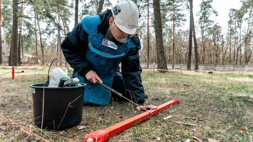
Improvised explosive devices and other explosive ordnance leave a deadly legacy, long after the guns have been silenced. New technology can help build a mine-free future.
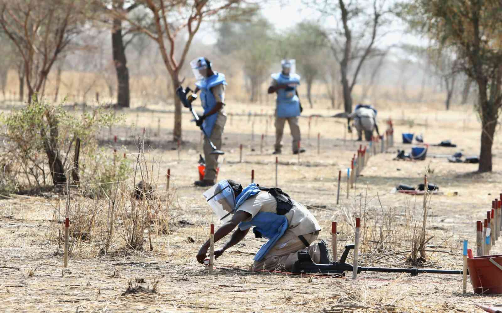
The devastating legacy of armed conflict – often marked by the indiscriminate use of landmines, improvised explosive devices and other explosive ordnance – poses a significant humanitarian challenge.
With over 25 years of experience, UNOPS has the largest operational mine action capability in the UN system. This vast expertise has given us a head start on the development of innovative solutions. Watch to learn more.
When weapons are discharged, by air or from the ground, over 10 per cent fail to explode upon impact. Instead, they remain buried, ready to explode at any minute – on roads, homes, critical infrastructure and more. These deadly remnants of war prevent safe movement and access to vital services and economic recovery, perpetuating cycles of poverty and instability.
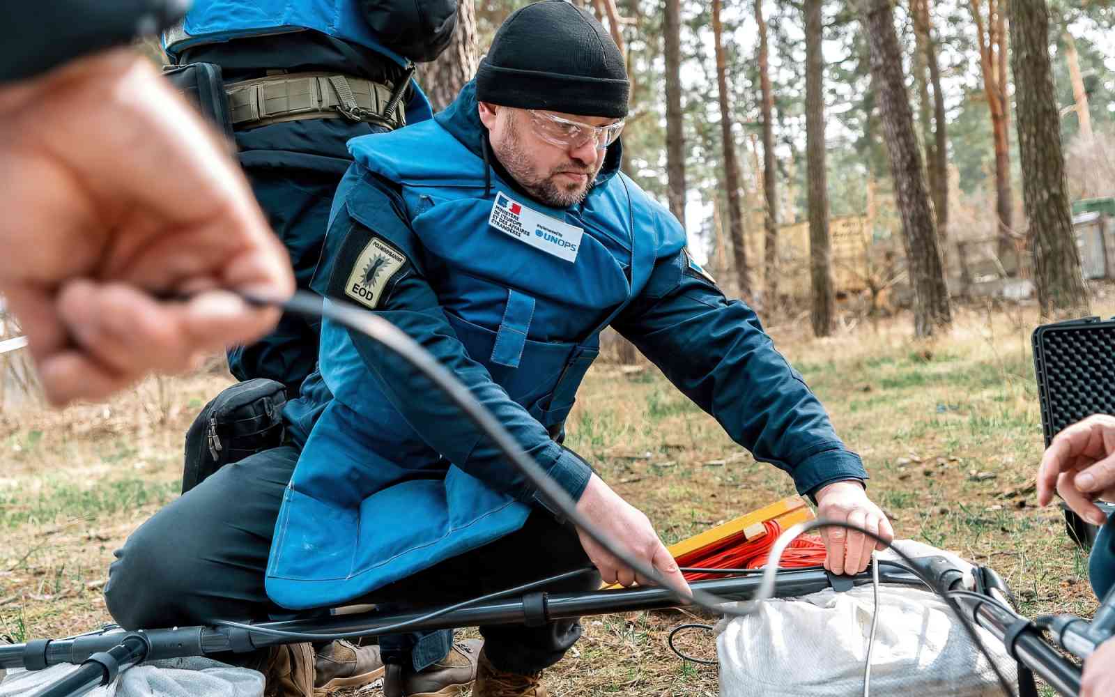
In the face of multiple ongoing armed conflicts and crises, leveraging innovation and new technologies can revolutionize the effectiveness of mine action initiatives.
By proactively applying new technology, mine action projects can contribute to a safer, more sustainable and equitable future for affected communities.
UNOPS has embraced advanced remote sensing technologies to inform advocacy and operational planning. By leveraging artificial intelligence (AI) and advanced remote sensing technologies such as 3D modeling and satellite imagery analysis, UNOPS project results are improved and ultimately – more lives are likely saved.
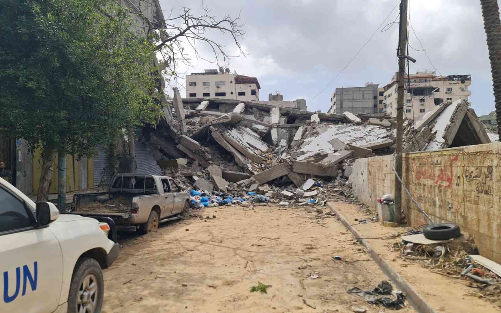
For example, in Syria, 3D modeling of the conflict-affected environment based on satellite imagery helped to inform damage assessments and enhance safety and security during rubble removal operations. Stereo imagery – when a satellite takes two images of the same area from different angles – was enhanced using off-nadir angles and shadows from the imagery to obtain accurate building heights and deduce the volume of rubble.
The ability to run these assessments remotely and automatically can have a significant impact on the safety of explosive ordnance disposal officers, as well as the time and resources needed to more accurately inform the critical and extremely dangerous operations in the field. 3D visualizations can also be used to plan operations with a better understanding of the situation. This helps identify changes, like damage to buildings, farms and roads, using computer models.
Measuring impact
In Afghanistan, significant amounts of land clearance activities have been required due to heavy explosive ordnance contamination following years of conflict. To help quantify the dramatic impact clearance activities have had at the individual, community and national level, UNOPS launched an innovative initiative with partners.
Using AI models developed by UNOPS in collaboration with the Massachusetts Institute of Technology (MIT), along with high-resolution satellite imagery provided by the United States Department of State, UNOPS could detect and measure the positive socio-economic impact of humanitarian mine action activities. This approach provided evidence of how UNOPS has enabled the development of a $1 billion economic zone in Kandahar, which includes facilitating employment opportunities for over 15,000 people.
At a challenging time for humanitarian and development efforts, this analysis helped the UNOPS mine action programme in Afghanistan show how this critical work is making a tangible contribution towards the Sustainable Development Goals. These results can also be used to demonstrate the value of conducting similar projects worldwide.
A future free from explosive threats
The path towards a mine-free world is undoubtedly challenging. However, the progress demonstrated through innovative technologies like AI and advanced remote sensing provides a beacon of hope and opportunity. These tools empower us to not only react to the devastating legacy of conflict but also to proactively mitigate risks, illustrate project impacts and build safer communities.
By embracing collaboration and knowledge-sharing, we can accelerate the development and implementation of these life-saving technologies. And by investing in research, fostering partnerships and prioritizing the needs of conflict-affected communities, we can create a world where communities can thrive, and humanitarians can work, without fear.
Rory Collins and Lionel Fragniere
Rory Collins is the Global Information Management and Analytics Advisor for UNOPS Peace and Security Cluster. He specializes in innovation and technology integration in humanitarian mine action. With a focus on enterprise system implementation and management, as well as remote sensing, Mr. Collins has led multiple projects with the UN that enhance operational efficiency and innovation in humanitarian mine action.
Lionel Fragniere is an Information Management and Analytics Specialist for UNOPS Peace and Security Cluster. He has extensive experience in information management, geographic information system and artificial intelligence applications within humanitarian mine action. His work primarily focuses on developing advanced tools for operational planning and improving the accuracy of threat and damage assessments through innovative technologies.


