The United Nations Office for Project Services (UNOPS)

UNOPS20: Monitoring volcanoes in the Democratic Republic of the Congo
Throughout 2015, we will be exploring some of our past achievements. This includes our five-year monitoring mission of Mount Nyiragongo, one of Africa’s most active volcanoes, which holds the world’s largest lava lake.
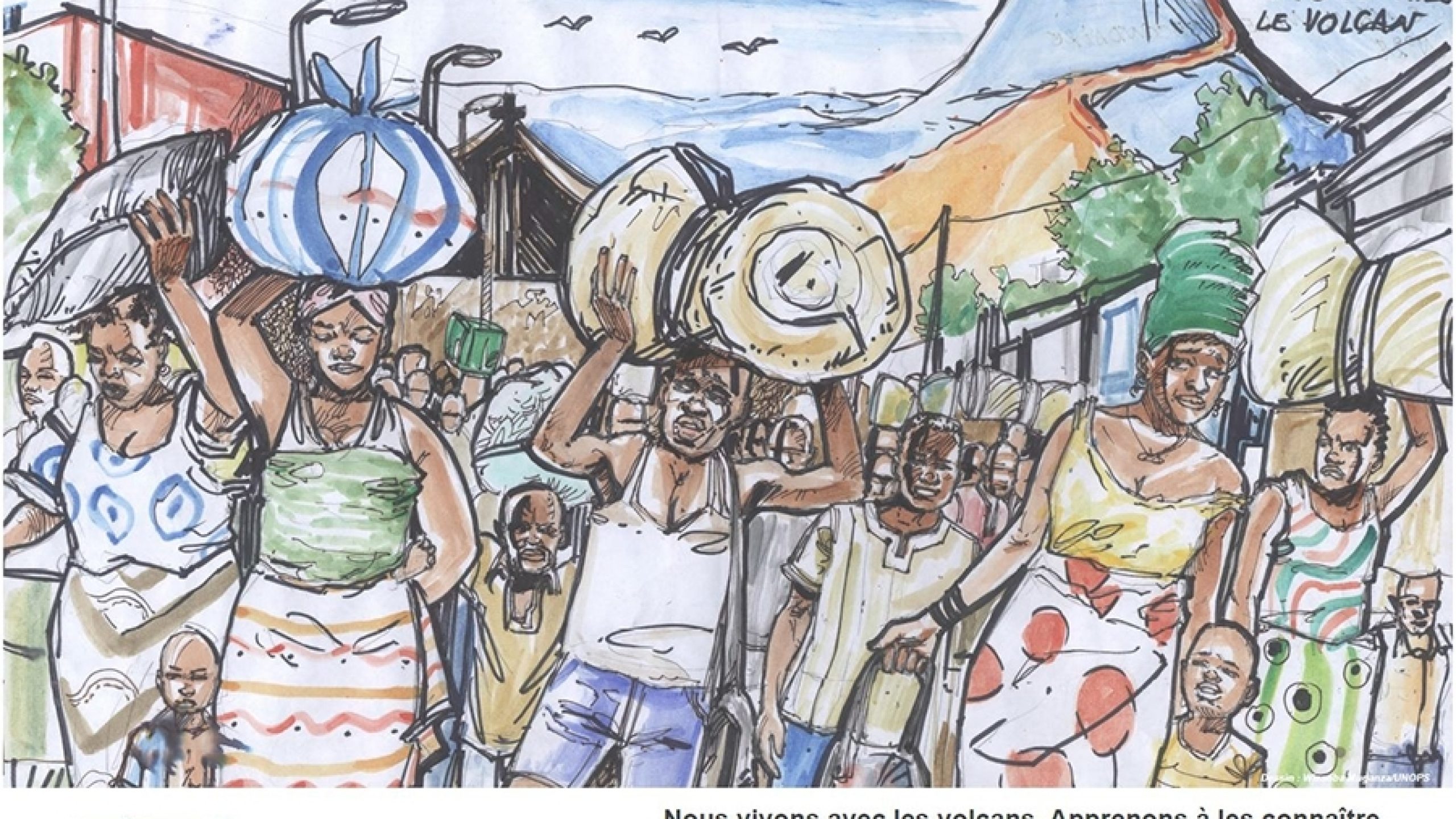
Earthquakes, volcanic eruptions, poisonous lakes, and military conflicts: these are just some of the dangers humans have had to face throughout history. However, for those living in Goma, in the Democratic Republic of the Congo (DR Congo), these are concurrent dangers that they must live with every day.
Some people have described Goma as one of the most vulnerable cities in the world, but they only counted the volcano.


As well as the dangers posed by the nearby volcano, the people of Goma are also subject to the so-called 'killer lake' – Lake Kivu. It is estimated that Lake Kivu contains more than 200 cubic kilometres of carbon dioxide and even small amounts of this poses a serious danger to the population when emitted. Similarly, lethal pockets of carbon dioxide low to the ground have also been responsible for many deaths around Goma. These invisible gas emissions are known locally as "mazuku".
There are so many other natural hazards that make this city, in my opinion, the most dangerous city in the world. However, the human hazard is probably the most dangerous part.
As well as Goma's environmental dangers, in recent years, areas around the city have been caught up in civil conflicts, which in 2012 saw the city fall under control of the Congolese Revolutionary Army, also known as the March 23 Movement (M23) – a rebel militia group that opposed the incumbent DR Congo government.
"My house was hit by two missiles on August 2013, completely destroyed. You can imagine what we have been through here," said Dario.
Dario headed one of the most unique projects UNOPS has been involved in to date, in cooperation with the European Union and the Swiss Government – a five-year monitoring mission of Mount Nyiragongo, one of two active volcanoes in the nearby Virunga Mountain range in eastern DR Congo.
In 2007, the Volcano and Risk Management Unit was set up, in partnership with the United Nations Development Programme, to support the Goma Volcano Observatory (Observatoire Volcanologique de Goma – OVG) in the scientific observation of volcanic activity and estimate the level of risk in the area. The overall aim of the project was to assist in disaster risk reduction by educating local people and analysing the volcanic hazards that affect the area.
It is extremely important to monitor the state of the two active volcanoes, Nyiragongo and Nyamulagira, and warn local authorities and people in case on an eruption. UNOPS helped to maintain equipment, run vehicles to and from the field for data collection, and with the running of generators 24 hours a day. They also helped motivate and supervise the staff on the job.


Situated just 18 kilometres (km) from Goma, Nyiragongo is one of the world's 16 decade volcanoes – a group of volcanoes that the International Association of Volcanology and Chemistry of the Earth's Interior consider to be the most dangerous on the planet.
Mount Nyiragongo's most recent eruption began in 2002, spewing a three kilometre high cloud of ash and between 15-25 million cubic metres of lava into Goma, killing more than 100 people, destroying an estimated 14,000 homes and leaving 130,000 people homeless.
Eruptions over the last two decades have left behind the world's largest lava lake in the centre of Mount Nyiragongo. The lake rose by 550 metres following the eruption in 2002. This further underscored the need for adequate surveillance networks to monitor volcanic activity and provide effective warning to people living near the volcano.

Nyiragongo is very dangerous for two main reasons. First of all, because its lava flows are extremely fast. We used to call them Formula One lava flows. They can travel at speeds up to 100 km per hour. The second reason is not because of Nyiragongo itself, but because there are so many people living close to the volcano. Not only that, but Goma's population is growing quickly, so the hazard area is increasing exponentially.


The Volcano and Risk Management Project aimed to develop a better and more prepared OVG through capacity building, awareness raising, education and resilience. Close cooperation with local authorities led to the creation of new contingency plans for the city of Goma in the event of another eruption. Given the amount of people at risk, more than one million, the creation and dissemination of these plans were a high priority for the city.
UNOPS also played an important part in initiatives to raise awareness about the dangers of the volcano. A weekly radio programme in both French and Swahili was set up to inform local listeners.
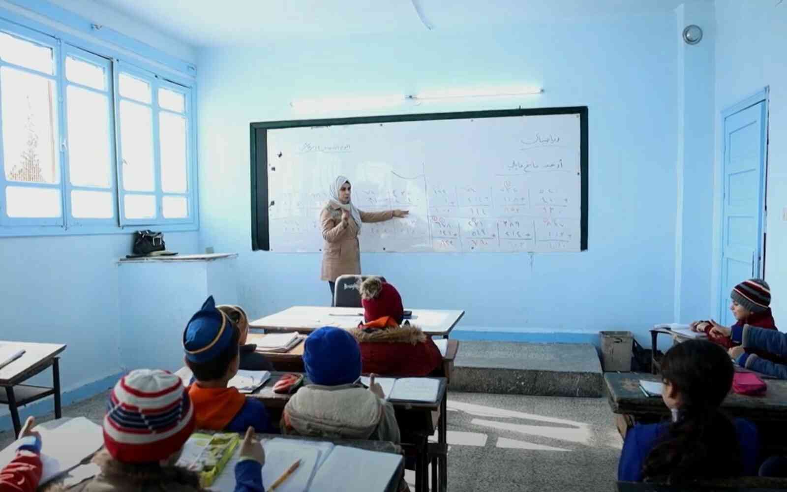
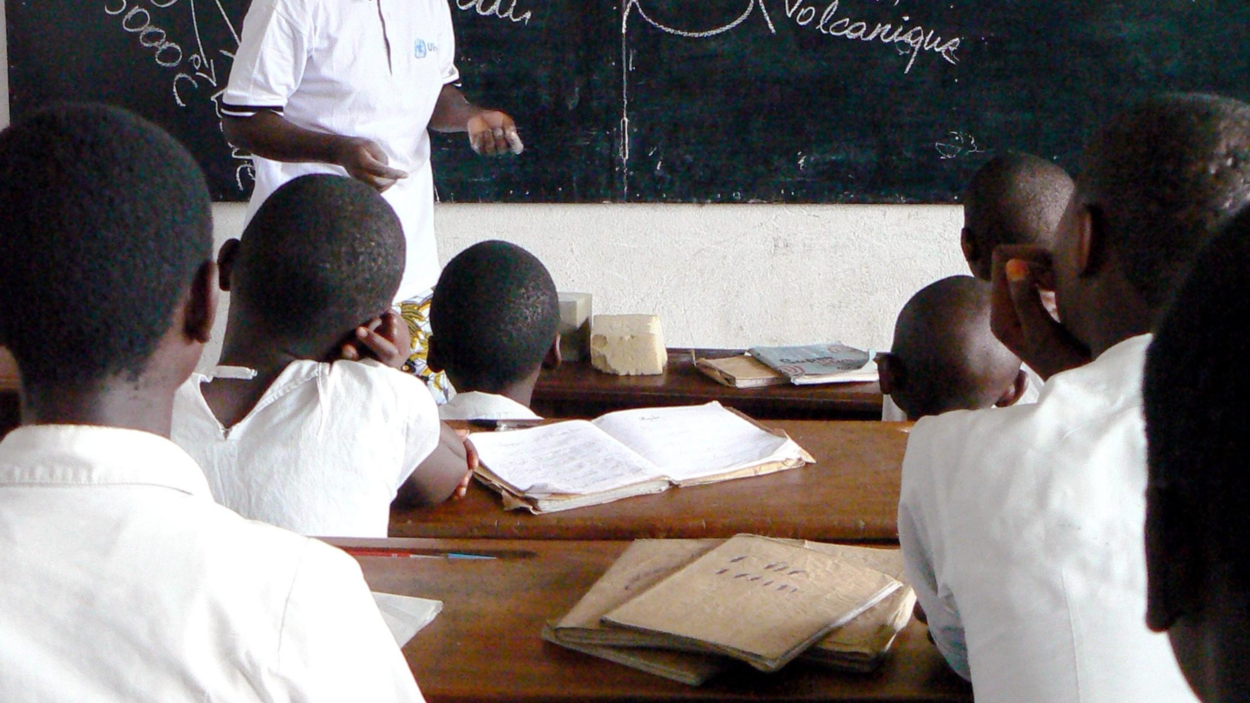
Another project was aimed at children from local schools, who were asked to come up with designs for a poster campaign, as well as for leaflets and other information materials.
Goma resident, Loko Mukuli worked closely with the city's education department during this campaign. He believes that engaging the public in this way helped enormously to educate not only the younger generations, but also the many newcomers.
Captions
- (L) Inside Mount Nyiragongo
- (R) Its lava flows can reach speeds of up to 100km/h on certain slopes.more about the volcano
When the volcano erupted in 2002, the population of Goma was estimated at 400,000. Today it is estimated at more than one million. Many who have moved here recently know very little of the volcano or the risks that come with living here.
The campaign reached more than 100,000 students in primary and secondary schools throughout Goma and provided them with a better understanding of the volcanoes, how they work, their benefits and the risks they present.


Disaster risk reduction (DRR) aims to build resilience to natural hazards such as Mount Nyiragongo, through identifying and effectively managing risk. In practice, this is achieved through the creation of a risk-based culture, establishing risk and vulnerability analysis processes, enhancing capacity and technology, and facilitating access to risk information.
That is exactly what was carried out in Goma. Making sure information is readily available the public are well informed of the risks and know exactly what to do when disaster strikes. However, one the most important aspects of this is trust. The public must also be able to trust information that is available to them.
Goma is a city of rumours. Anytime you hear someone say the volcano is going to erupt or the lake is going to explode, we were there to explain the truth clearly. A scientist must be trusted, that is the most important thing. I think this is UNOPS legacy here - to get back trust and that trust still exists today.